All Permanent Trails in Ottawa & the National Capital Region - 2018
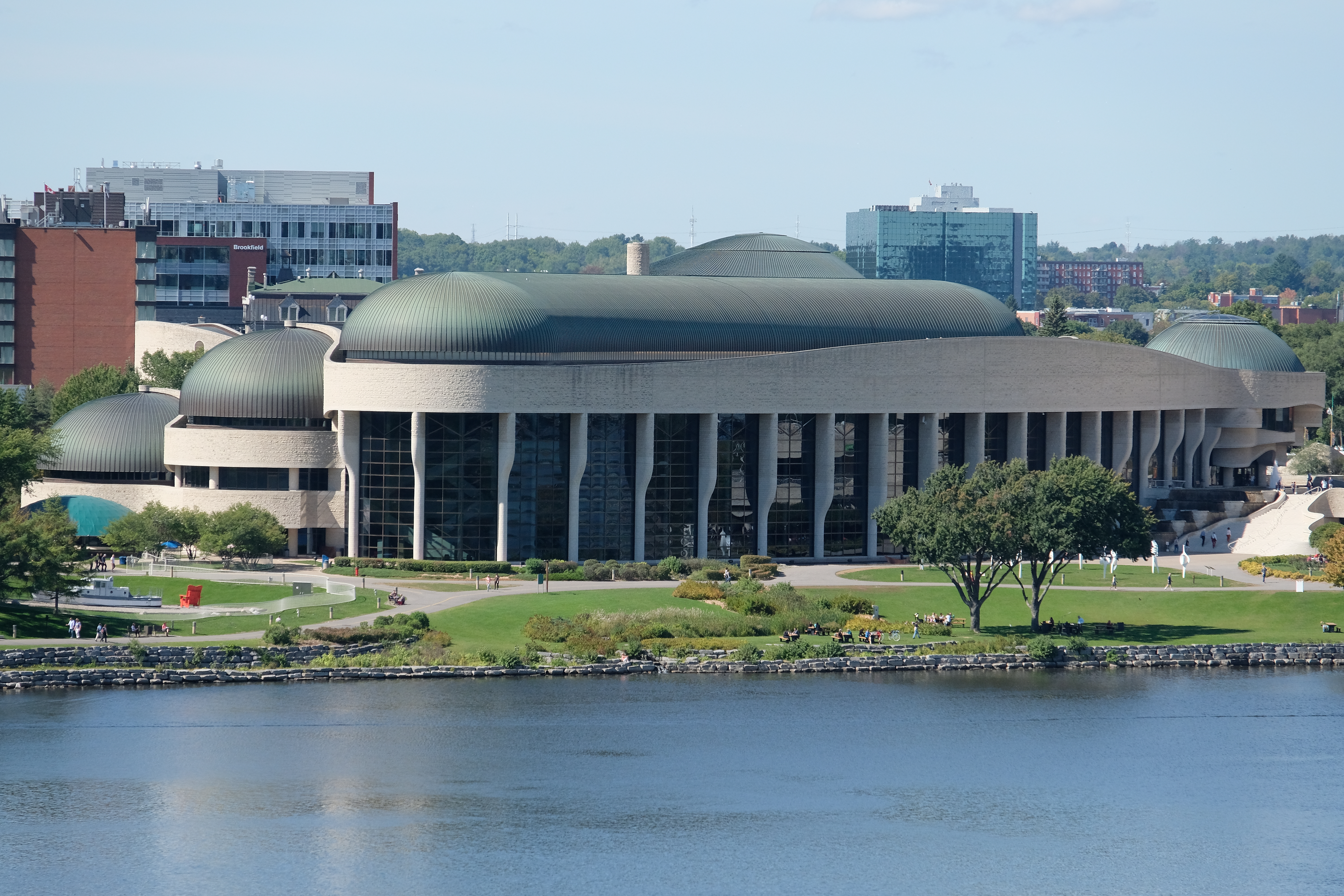
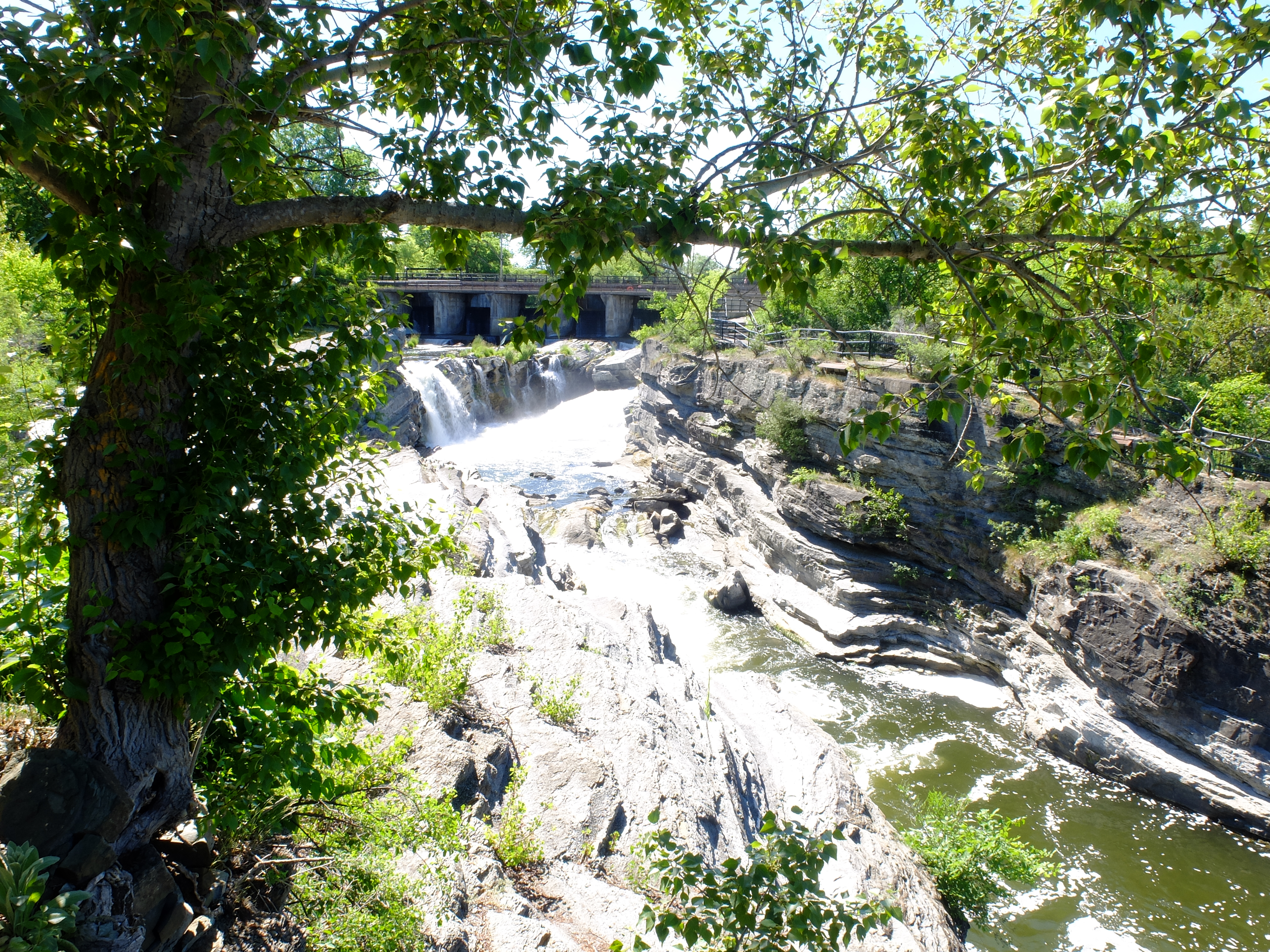
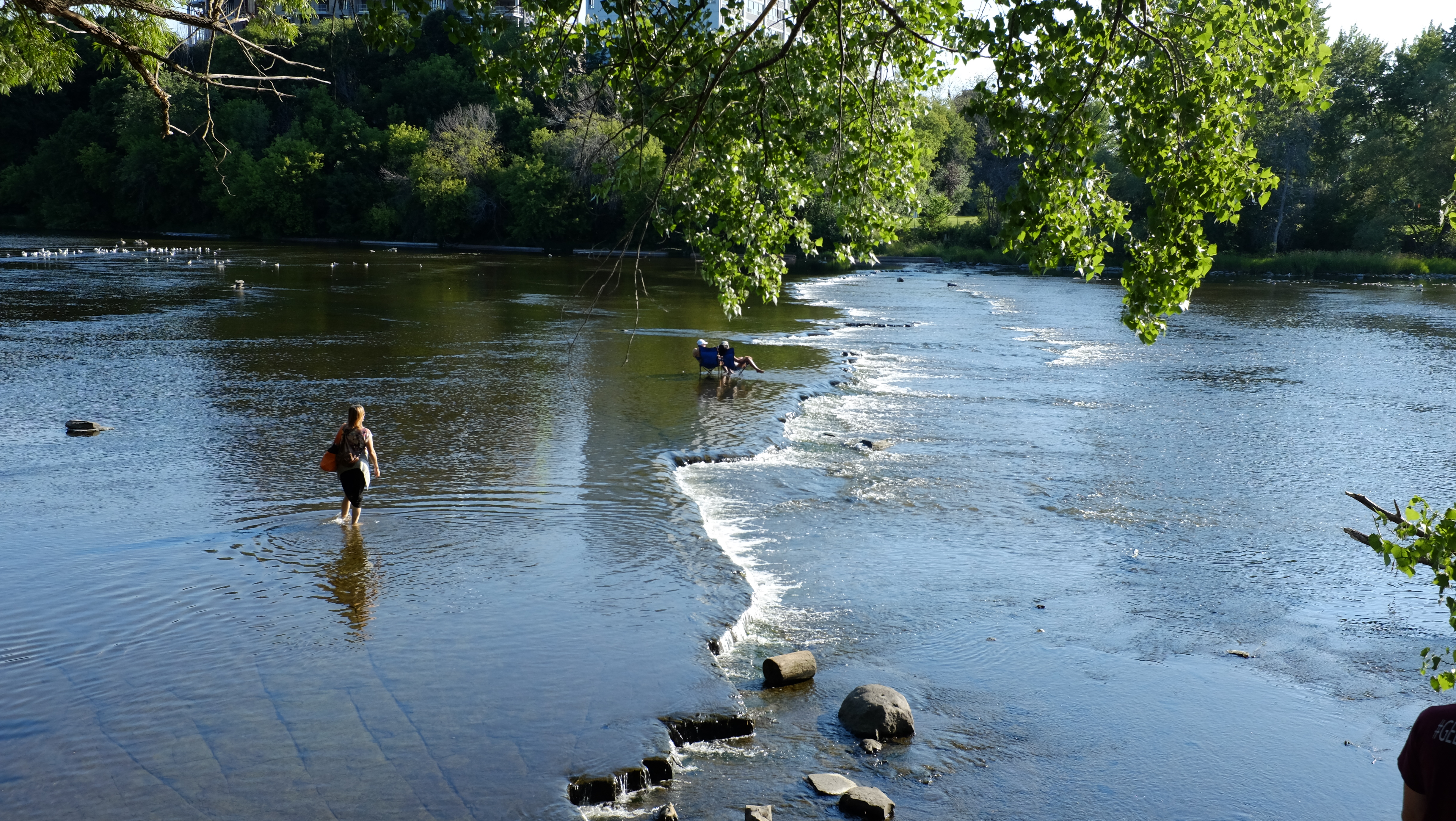
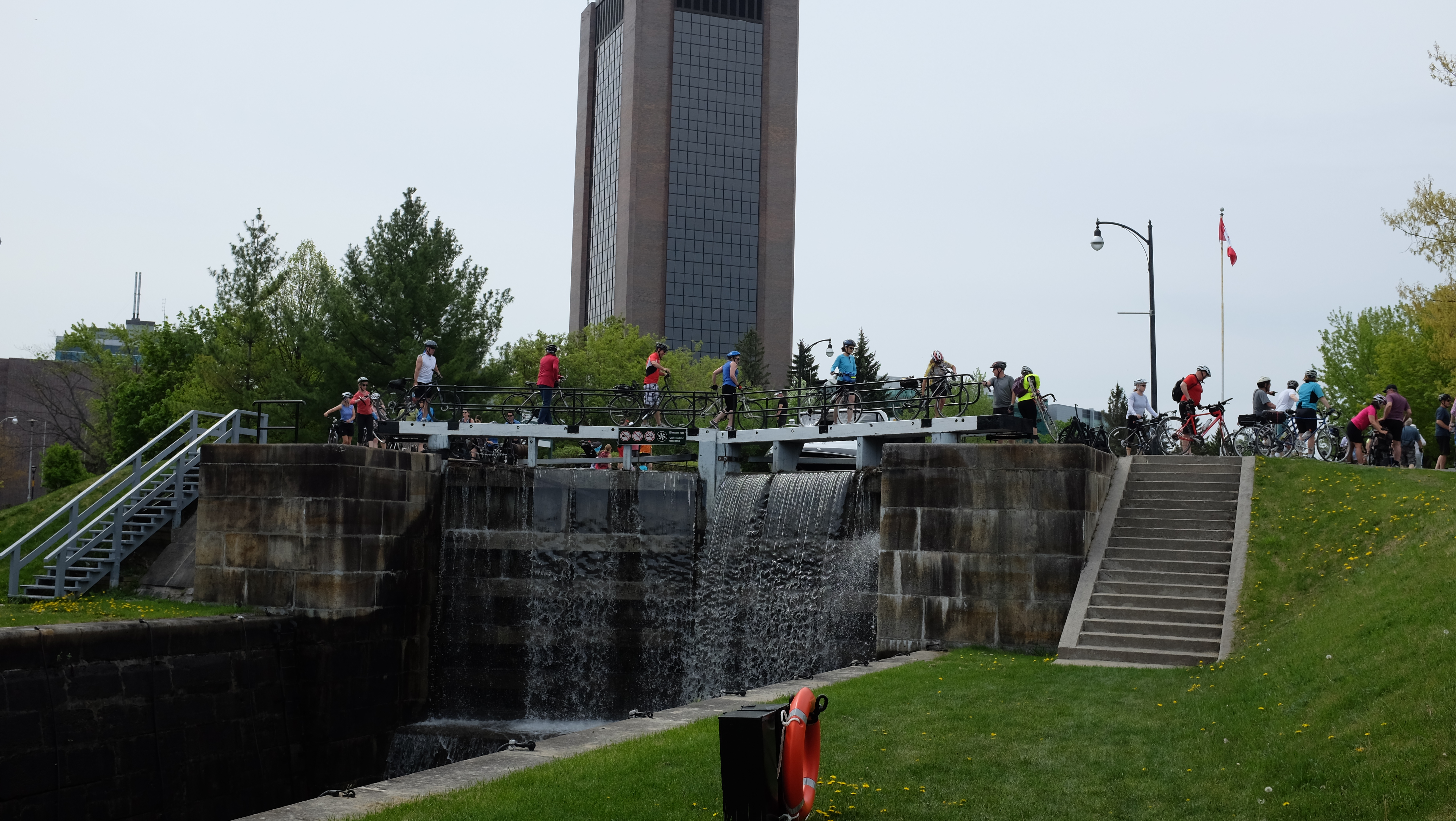
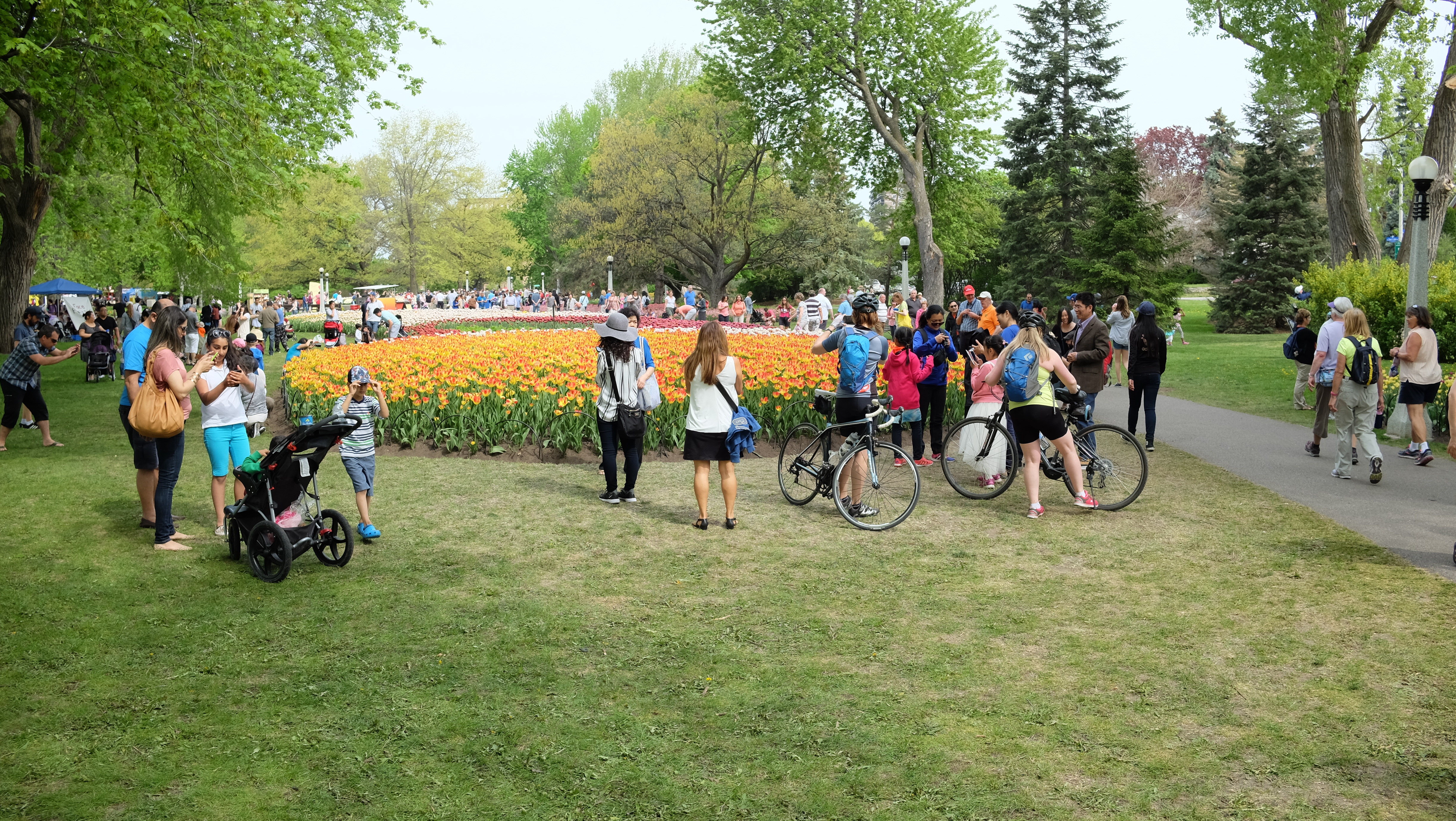
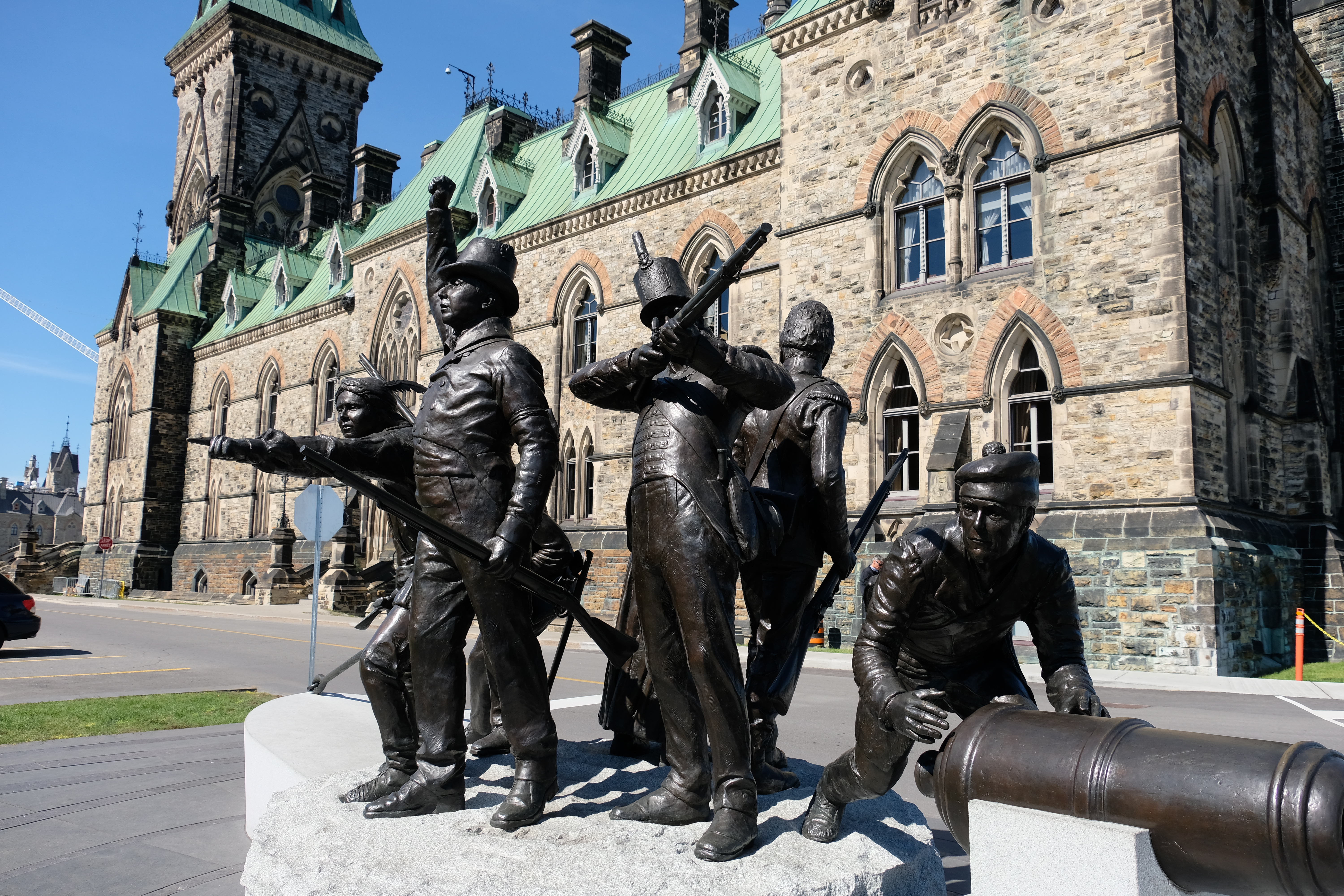
Ottawa scenes
(Click on any photo for slideshow.)


Updated July 11, 2018
Please note: In the case of discrepancy between printed walks information and the website, the WEBSITE shall have priority and any changes will be highlighted in RED
Ontario / Ottawa & NCR
OTTAWA - Kanata - PT003
Start Point Open: 2018-05-01 ~ 2018-10-31 Distances: 5, 6, 10, 11 km Difficulty Rating: 1A
Nepean Nomads Walking Club
Don & Joan Cooper - 613-831-4209 - koopdj@rogers.com
START POINT: Rexall PharmaPlus (inside Hazeldean Mall), 300 Robertson Rd, Ottawa K2M 1C9
Ontario / Ottawa & NCR
OTTAWA - Downtown Tourist Walk - PT005
Start Point Open: 2018-01-02 ~ 2018-12-31 Distances: 5, 10 km Difficulty Rating: 1A
Nepean Nomads Walking Club
Michele Bell - 613-825-7180/613-220-1751 - gm.bell@rogers.com
START POINT: The Scone Witch, 150 Elgin St., Ottawa K1P 5J4
DIRECTIONS TO START POINT: Please Note: the entrance to The Scone Witch is on Gloucester Street.
WALK INFORMATION: Special Walking Program(s): TCT Pavilion (*Pavilion on 10 KM trail only), Capital City, Trans-Canada Trail, Bridges
SPECIAL WALKING PROGRAMS: TCT & Pavilion, Capital City, Trans-Canada Trail, Bridges
Ontario / Ottawa & NCR
OTTAWA - Orleans - East - Convent Glen South - PT018
Start Point Open: 2018-01-02 ~ 2018-12-31 Distances: 5, 6, 10, 11 km Difficulty Rating: 1B / 2A
Ottawa Voyageurs d'Ottawa Walking Club
Darlene Blight - 613-830-4782 - darlene.blight@gmail.com
START POINT: Bob McQuarrie Recreation Complex, 1490 Youville Drive, Ottawa K1C 2X8
DIRECTIONS TO START POINT: Proceed east on Hwy #417 and Regional Road 174 from Ottawa or west on Hwy 17 /174 from Hawkesbury. Take the Jeanne d'Arc exit and proceed south to the first intersection (Youville Dr.) Turn right and the Recplex will be on your right.
WALK INFORMATION: Trails are on city streets, sidewalks and paved pathways. Pets must be on a leash at all times and cleaned up after.
SPECIAL WALKING PROGRAM: Community
Ontario / Ottawa & NCR
OTTAWA - Nepean - West - Woodroffe South - PT030
Start Point Open: 2018-01-02 ~ 2018-12-31 Distances: 5,6,10,11 km Difficulty Rating: 1A
Nepean Nomads Walking Club
Michele Bell - 613-825-7180 - gm.bell@rogers.com
START POINT: Nepean Sportsplex, 1701 Woodroffe Avenue, Ottawa K2G 1W2
SPECIAL WALKING PROGRAM: Community
Ontario / Ottawa & NCR
OTTAWA - Orleans - East - Fallingbrook - PT050
Start Point Open: 2018-01-02 ~ 2018-12-31 Distances: 5, 6, 11 km Difficulty Rating: 1A / 3C
Ottawa Voyageurs d'Ottawa Walking Club
Ole Olson - 613-824-1583 - oleolson@magma.ca
START POINT: Ray Friel Recreation Complex, 1585 Tenth Line Rd., Ottawa K1E 3E8
DIRECTIONS TO START POINT: Exit Regional Road 174, at Tenth Line Road South, and proceed along Tenth Line to the Ray Friel Centre. The walk box is located on the back of the wall opposite the Sports Centre Information Desk (entrance to Washrooms). Free parking is available. 613-830-2747
WALK INFORMATION: Year round trail is rated 1A; summer trail is rated 3C.
SPECIAL WALKING PROGRAM: Community
Ontario / Ottawa & NCR
OTTAWA - Nepean - West - Crystal Beach - PT092
Start Point Open: 2018-01-01 ~ 2018-12-31 Distances: 6, 11 km Difficulty Rating: 1B
Nepean Nomads Walking Club
Kirsten Andreassen - 613-829-2237 - anorse@rogers.com
START POINT: Petro-Canada, 3095 Carling Avenue, Ottawa K2H 5A4
SPECIAL WALKING PROGRAMS: Capital City, Trans-Canada Trail
Ontario / Ottawa & NCR
OTTAWA - Nepean - West - Greenbank - PT100
Start Point Open: 2018-01-01 ~ 2018-12-31 Distances: 5, 6, 10, 11 km Difficulty Rating: 1A
Nepean Nomads Walking Club
Jane Hare - 613-733-6943 - janehare@magma.ca
START POINT: Mac's Convenience Store, 299 Greenbank Road, Ottawa K2H 8K9
Ontario / Ottawa & NCR
OTTAWA - Nepean - West - Woodroffe - PT130
Start Point Open: 2018-01-02 ~ 2018-12-31 Distances: 5, 6, 10, 11 km Difficulty Rating: 2B
Nepean Nomads Walking Club
Lorna Giles - 613-224-1332 - sassyg@rogers.com
START POINT: Sports 4, College Square, 1371 Woodroffe Avenue, Ottawa K2G 1V7
Ontario / Ottawa & NCR
OTTAWA - Kanata - West - PT147
Start Point Open: 2018-05-01 ~ 2018-10-31 Distances: 5, 6, 10, 11 km Difficulty Rating: 1A
Nepean Nomads Walking Club
Sally Hare - 613-829-4809 - sdhare@rogers.com
START POINT: Kanata Leisure Centre, 70 Aird Pl., Ottawa K2L 4C9
Ontario / Ottawa & NCR
OTTAWA - Stittsville - Village in west end of Ottawa - PT148
Start Point Open: 2018-04-14 ~ 2018-10-13 Distances: 5, 6, 10, 11 km Difficulty Rating: 1A
Nepean Nomads Walking Club
Don Cooper - 613-831-4209 - koopdj@rogers.com
START POINT: Shoppers Drug Mart, 1300 Main St., Ottawa K2S 1S9
Ontario / Ottawa & NCR START POINT NAME CHANGE
OTTAWA - Gloucester - East - Chapel Hill - PT152
Start Point Open: 2018-01-02 ~ 2018-12-31 Distances: 5, 6, 10, 11 km Difficulty Rating: 1B
Ottawa Voyageurs d'Ottawa Walking Club
Darlene Blight - 613-830-4782 - darlene.blight@gmail.com
START POINT: Circle K, 1600 Forest Valley Drive, Ottawa K1C 6X7
DIRECTIONS TO START POINT: Exit Regional Road 174, at Jeanne D'Arc Blvd, Turn Right to Orleans Blvd, Turn Right to corner of Forest Valley. Circle K is in the Mini Mall on your left. Walk Box located at the end of the counter closest to the door to the gas bar, ask staff for the walk box.
WALK INFORMATION: Trails are streets and sidewalks with some sections on dirt and paved paths.
Ontario / Ottawa & NCR
OTTAWA - Gloucester - East - Beacon Hill - PT195
Start Point Open: 2018-01-02 ~ 2018-12-31 Distances: 5, 10 km Difficulty Rating: 2B / 1A
Ottawa Voyageurs d'Ottawa Walking Club
Carol Jobst - 613-744-2507 - ijobst@sympatico.ca
START POINT: The Hill Butcher Shop & Deli, Beacon Hill Shopping Centre, 2339 Ogilvie Road, Ottawa K1J 7N3
DIRECTIONS TO START POINT: Exit Regional Road 174 at Montreal Road, turn west in direction to downtown; at Ogilvie Road, turn right. Free parking is available.
WALK INFORMATION: Strollers and wheelchairs will have difficulty. The trail passes some very beautiful and unique homes and goes along the Ottawa River, a very pleasant and relaxing walk. Trail rating 2B in summer and 1A in winter.
Ontario / Ottawa & NCR
OTTAWA - Orleans - East - Convent Glen - PT213
Start Point Open: 2018-01-02 ~ 2018-12-31 Distances: 5, 10 km Difficulty Rating: 1B
Ottawa Voyageurs d'Ottawa Walking Club
Kathy Luten - 613-830-7437 - kathleen_luten@hotmail.com
START POINT: Ultramar Service Station, 6469 Jeanne d'Arc Blvd., Ottawa K1C 2R1
DIRECTIONS TO START POINT: From Ottawa proceed East on Hwy #417 to Regional Road 174 East, exit at Jeanne d'Arc North. Turn left and follow Jeanne d'Arc north to to corner of Jeanne d'Arc and Orleans Boulevard. The Ultramar station is directly in front of you. From Orleans proceed West on Regional Road 174 , exit at Jeanne d'Arc North. Turn right and follow Jeanne d'Arc north to to corner of Jeanne d'Arc and Orleans Boulevard. The Ultramar station is directly in front of you.
WALK INFORMATION: Trail is segmented - 2 x 5 km trails. Trails are on streets, sidewalks and dirt / paved paths.
Ontario / Ottawa & NCR
OTTAWA - Orleans - Blackburn Hamlet - east end of Ottawa - PT233
Start Point Open: 2018-01-02 ~ 2018-12-31 Distances: 5, 10 km Difficulty Rating: 1B / 1A
Ottawa Voyageurs d'Ottawa Walking Club
Perry Crowder - 613-837-9914 - pcrowder@rogers.com
START POINT: Shopper's Drug Mart, 2638 Innes Road, Ottawa K1B 4Z5
DIRECTIONS TO START POINT: Exit Regional Road 174 at Montreal Road exit and proceed East on Montreal Road which becomes St. Joseph Blvd. At Bearbrook Road, turn right. At the corner of Bearbrook Road and Innes Road, the shopping mall is on your left, across Innes Road. Free parking is available.
WALK INFORMATION: The trail takes you on the many paths through the numerous parklands of this green belt community. The summer route is not suitable for strollers or wheelchairs. Summer trail rating 1B, the year round trail is 1A.
Ontario / Ottawa & NCR
OTTAWA - Downtown - PT268
Start Point Open: 2018-01-02 ~ 2018-12-31 Distances: 5, 10 km Difficulty Rating: 1A / 2A
Ottawa Voyageurs d'Ottawa Walking Club
Pat Derroche - 613-230-5659 - patderroche@rogers.com
START POINT: Sports 4, 149 Bank St., Ottawa K1P 5N7
DIRECTIONS TO START POINT: From East End: Exit Queensway at Nicholas St., turn left on Laurier Ave. and carry on straight to corner of Laurier and Bank Turn Right on Bank. From West End Exit Queensway at Kent and proceed to Laurier (direction North). Turn Right on Laurier to Bank. At Bank turn Left to the Start Point. Pay parking M-F, free on Sat. & Sunday. 613-234-6563
WALK INFORMATION: Trails are on sidewalks or shared pathways.
Ontario / Ottawa & NCR
OTTAWA - West - Westboro - PT272
Start Point Open: 2018-01-02 ~ 2018-12-31 Distances: 5, 6, 10, 11 km Difficulty Rating: 1A
Nepean Nomads Walking Club
David Rupar 613-728-9510 drupar@magma.ca
START POINT: Bridgehead Coffee House, 440 Richmond Road, Ottawa K2A 0E8
DIRECTIONS TO START POINT: Bridgehead Coffee House is located at the corner of Golden and Richmond.
SPECIAL WALKING PROGRAMS: Trans-Canada Trail, Murals
Ontario / Ottawa & NCR
OTTAWA - Billings Bridge / Old Ottawa South - PT273
Start Point Open: 2018-01-02 ~ 2018-12-31 Distances: 5, 6, 10, 11 km Difficulty Rating: 1A / 1B
Ottawa Voyageurs d'Ottawa Walking Club
Dorothy Prieur - 613-224-6880 - tireddawgs@yahoo.ca
START POINT: RA Centre, (East Entrance Reception Desk), 2451 Riverside Dr., Ottawa K1H 7X7
DIRECTIONS TO START POINT: From east, take Hwy 417 to Riverside Dr. South. Follow Riverside past Bank Street. RA LifeFit Centre is past the shopping mall on your left. From the west, exit Hwy 417 at Bronson. Follow Bronson South to Riverside East. Follow Riverside for a short distance. RA LifeFit Centre is on your right.
WALK INFORMATION: Trail is on streets, sidewalks and pathways.
SPECIAL WALKING PROGRAM: Community
Ontario / Ottawa & NCR
OTTAWA - Central Ottawa - Downtown - PT277
Start Point Open: 2018-01-02 ~ 2018-12-31 Distances: 6 to 45 km Difficulty Rating: 1A / 2A
Ottawa Voyageurs d'Ottawa Walking Club
Benoît Pinsonneault - 613-746-9071 - benoitpinson@rogers.com
START POINT: Champagne Fitness Centre, 321 King Edward Ave [at York St.], Ottawa K1N 7M5
DIRECTIONS TO START POINT: From Hwy 174 / 417, take the Nicholas Street exit to Rideau, right on Rideau to King Edward, left on King Edward to the Champagne Pool at the corner of York and King Edward.
WALK INFORMATION: Please note the 6 KM route is on the Trans Canada Trail. Distances possible: 6, 10, 12, 14, 16, 18, 20, 21, 24, 25, 27, 29, 31, 33, 35, 37, 39, 41 and 45 km. A thematic walk - Tribute to the Canadian Forces. The many possible routes for this walk will take you by and through places and monuments of military interest. Examples: The War Museum, various statues, military cemeteries, the Peace Keeping Monument, etc. A completely documented brochure explaining some 36 locations is available free of charge for walkers.
SPECIAL WALKING PROGRAM: Capital City
Ontario / Ottawa & NCR
OTTAWA - Alta Vista / Riverview - East - PT281
Start Point Open: 2018-01-02 ~ 2018-12-31 Distances: 7, 10 km Difficulty Rating: 1A
Ottawa Voyageurs d'Ottawa Walking Club
Benoît Pinsonneault - 613-746-9071 - benoitpinson@rogers.com
START POINT: Shoppers Drug Mart, 1559 Alta Vista Dr., Ottawa K1G 0E9
DIRECTIONS TO START POINT: Exit Hwy 174 [Queensway] at Riverside Drive. Proceed south on Riverside to Industrial. Left at lights on Industrial. Right onto Alta Vista. The Alta Vista Centre and Shoppers are on the left just after the next lights. Park away from the immediate entrance to the drug store.
WALK INFORMATION: Trails are streets and sidewalks around the Ottawa Hospital [General Hospital, Children's Hospital and former National Defence Medical Centre].
SPECIAL WALKING PROGRAM: Lighthouse
Ontario / Ottawa & NCR
OTTAWA - Nepean - West - Barrhaven in southwest Ottawa. - PT290
Start Point Open: 2018-05-01 ~ 2018-10-31 Distances: 5, 6, 10, 11 km Difficulty Rating: 1B
Nepean Nomads Walking Club
Bob Hubbard - 613-692-1251 - angandbob@sympatico.ca
START POINT: Sobey's, 1581 Greenbank Road, Ottawa K2J 4Y6
DIRECTIONS TO START POINT: Near Strandherd Road
Ontario / Ottawa & NCR (Regional Cycle Event)
OTTAWA - Regional Municipality of Ottawa-Carleton & National Regions (incl. Gatineau, QC). - PT355R (Cycle Permanent Trail)
Ottawa Voyageurs d'Ottawa Walking Club
START POINT: (No walk box available locally. See 'DIRECTIONS', below.)
Start Point Open: 2018-04-15 ~ 2018-10-14 Distances: 10 to 60 km Difficulty Rating: 2B
Postal Code for Google Maps / MapQuest: N/A
WALK INFORMATION: Daylight hours. Participants must contact Graham Fawcett for preregistration or register online. Link for the regional pathway map.
Participants may also use their own technology and knowledge of the Ottawa-Carleton Region to participate: mapmyride.com / garmin.com
CONTACT: Graham Fawcett - 613-821-0056 - grahamfawcett@mac.com
DIRECTIONS TO START POINT: Open Start Points anywhere on or near the 800 km network of walking and cycling paths and lanes in the Ottawa-Carleton and National Capital Regions (incl. Gatineau, QC). Link for the regional pathway map. Every Sunday morning, from Victoria Day to Labour Day, from 09:00 to 12:00, the major parways are closed to traffic and open for family cycling. See Nokia Bikedays .
Note re: Cycling Events: The CVF allows cyclists to register one Cycle distance in their Walks books per half year. i.e. one distance before June 30, and one after July 1. Minimum cycling distance is 10 km. each time.
Ontario / Ottawa & NCR
OTTAWA - Greely - Greely West, Orchard View, Rideau Forest subdivisions - PT356
Ottawa Voyageurs d'Ottawa Walking Club
START POINT: Greely West Park, 6485 Greely West Dr. (No walk box available locally. See 'WALK INFORMATION', below.)
Start Point Open: 2018-04-15 ~ 2018-10-14 Distances: 5, 10, 15, 21, 32, 42 km Difficulty Rating: 1A
Postal Code for Google Maps / MapQuest: K4P 1E8
WALK INFORMATION: Daylight hours. There is no walk box at this location. Participants must register online. The 5 - 15 km walks follow many possibilities through the rural-urban neighbourhoods of Greely West, Orchard View and Deer Meadows. The 21 - 42 km distances also use parts of the Leitrim-Osgoode Trail and the Rideau Forest subdivision.
CONTACT: Graham Fawcett - 613-821-0056 - grahamfawcett@mac.com
DIRECTIONS TO START: From Manotick: turn east at the light at Manotick Main and Bridge St. Continue 10 km to Regional Rd 25 South (Stagecoach Rd). Turn right onto Stagecoach Rd and continue south to the fourth street on the right, Greely West Dr. Turn right onto Greely West Dr. and continue to Greely West Park.